
Revolutionizing Oceanography: How AI is Unveiling Hidden Currents
The Dawn of a New Era in Oceanography
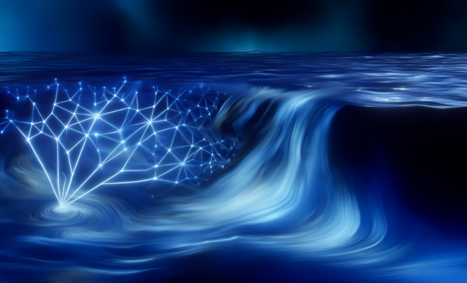
The intersection of artificial intelligence (AI) and oceanography has led to groundbreaking advancements that are redefining our understanding of marine environments. A recent innovation, known as GOFLOW, harnesses the capabilities of AI to convert weather satellite imagery into detailed maps of ocean currents. This transformative method reveals previously unseen, fast-moving small-scale currents, significantly enhancing our comprehension of ocean dynamics and their broader implications for climate science.
Understanding GOFLOW
GOFLOW represents a sophisticated approach that utilizes satellite data, particularly focusing on temperature pattern shifts over time. Traditional methods of observing ocean currents often relied on direct measurements, which can be both costly and limited in scope. By leveraging existing satellite technology, GOFLOW offers a more efficient, cost-effective solution to monitor ocean currents worldwide.
Published in the esteemed journal Nature Geoscience, this innovative technique marks a significant milestone in oceanographic research. Researchers have long recognized the importance of ocean currents in regulating climate patterns, influencing marine ecosystems, and contributing to carbon storage, making GOFLOW’s insights invaluable.
How GOFLOW Works
At its core, GOFLOW utilizes advanced AI algorithms that analyze satellite imagery to detect minute changes in ocean temperatures. These temperature variations are indicative of underlying currents that may not be observable through conventional means. The process involves several key steps, including:
- Data Collection: Utilizing satellite imagery that captures sea surface temperatures.
- Pattern Recognition: AI algorithms identify shifts in temperature over time, which correspond to the movement of currents.
- Mapping Currents: The data is transformed into detailed maps that illustrate the direction and speed of ocean currents.
This innovative methodology not only enhances the resolution of ocean current mapping but also allows for the tracking of currents that were previously invisible to researchers.
The Significance of Ocean Currents
Understanding ocean currents is crucial for several reasons:
- Climate Regulation: Ocean currents play a significant role in regulating global climate by redistributing heat across the planet.
- Marine Ecosystem Health: Currents influence nutrient distribution, which is vital for the health of marine ecosystems.
- Carbon Storage: The oceans act as a carbon sink, and understanding currents helps in assessing their role in carbon storage and climate change mitigation.
With GOFLOW, researchers can gain unprecedented insights into these dynamics, leading to better climate models and conservation strategies.
Implications for Climate Research
The insights provided by GOFLOW have profound implications for climate research. By revealing the intricate patterns of ocean currents, researchers can improve climate models that predict weather patterns, sea-level rise, and the impacts of climate change on marine biodiversity.
Moreover, the ability to observe small-scale currents opens new avenues for studying phenomena such as ocean eddies and gyres, which play a crucial role in local and global weather systems. As climate change continues to alter the landscape of our oceans, having precise data on current movements will be essential for developing adaptive strategies to mitigate its effects.
Advancements in Marine Ecosystem Studies
The application of GOFLOW extends beyond climate science into the realm of marine ecology. By mapping ocean currents with greater accuracy, researchers can better understand how these currents affect marine habitats and species distributions. The following are some key areas of impact:
- Habitat Connectivity: Ocean currents facilitate the movement of marine organisms, influencing genetic diversity and species distribution.
- Nutrient Transport: Currents are instrumental in transporting nutrients, which are essential for the growth of phytoplankton—the foundation of the marine food web.
- Impact on Fisheries: Understanding current patterns aids in predicting fish migration, which is crucial for sustainable fishing practices.
By integrating GOFLOW’s findings into marine ecosystem studies, scientists can develop more effective conservation strategies that account for the dynamic nature of ocean currents.
Challenges and Future Directions
While GOFLOW presents a promising leap forward, several challenges remain in the quest to fully understand ocean dynamics. Key challenges include:
- Data Limitations: The accuracy of satellite data can vary based on atmospheric conditions, potentially impacting the quality of current maps.
- Scale of Observation: While GOFLOW excels at mapping small-scale currents, larger currents can also have significant impacts that require different analytical approaches.
- Integration with Other Data Sources: To maximize the effectiveness of GOFLOW, integrating data from in-situ measurements, such as buoys and oceanographic research vessels, is essential.
Future research will likely focus on addressing these challenges, refining the GOFLOW methodology, and expanding its applications across different fields of study.
Conclusion
The advent of GOFLOW marks a pivotal moment in our understanding of ocean currents and their far-reaching implications for climate science and marine ecosystems. By leveraging AI to transform satellite imagery into actionable insights, researchers are not only uncovering hidden currents but also paving the way for more informed decision-making in environmental conservation and policy.
As we continue to face the challenges posed by climate change, the ability to track and understand ocean dynamics will be critical. GOFLOW stands as a testament to the power of technology in addressing some of the most pressing issues of our time, offering hope for a future where we can better protect our planet’s vital marine resources.